
SOCOTEC drives smart land management across the country with Mobile Mapping technology
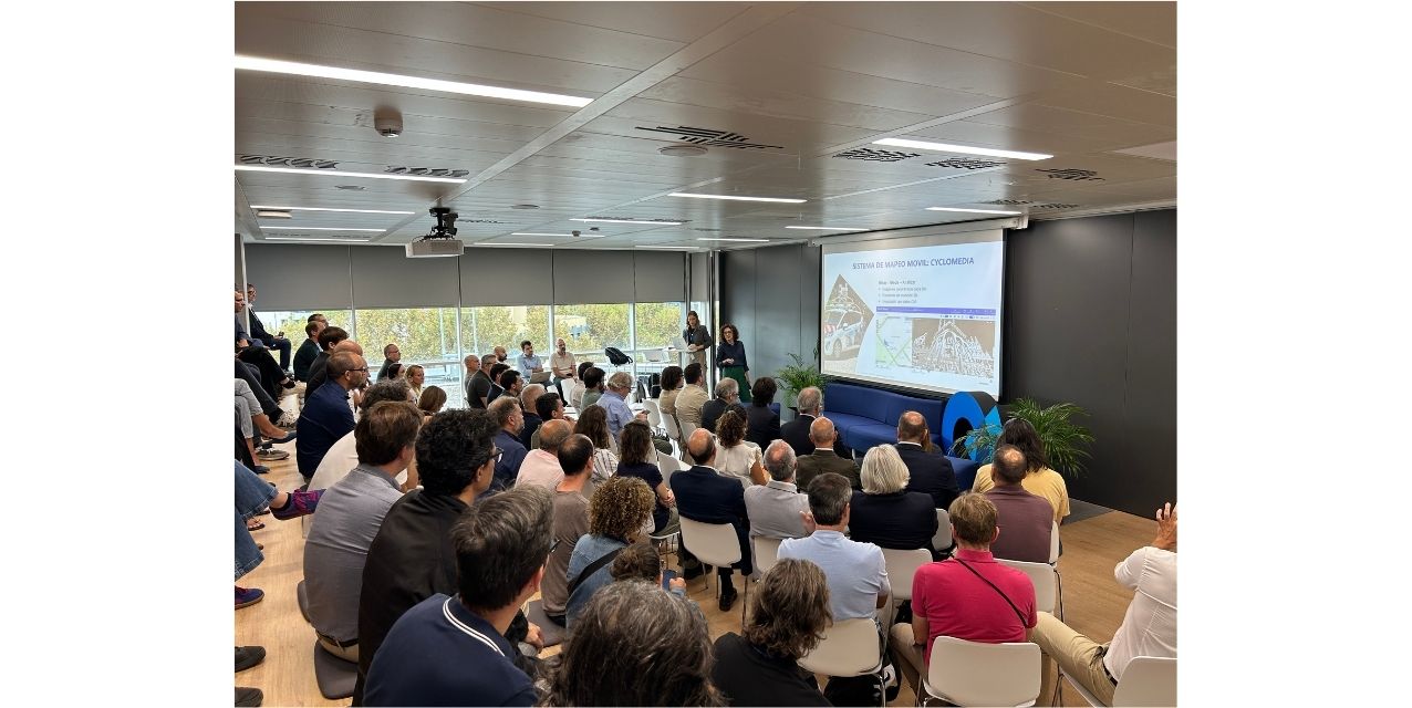
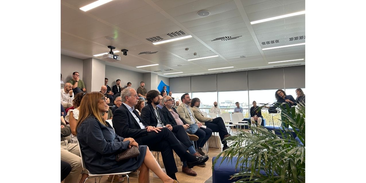
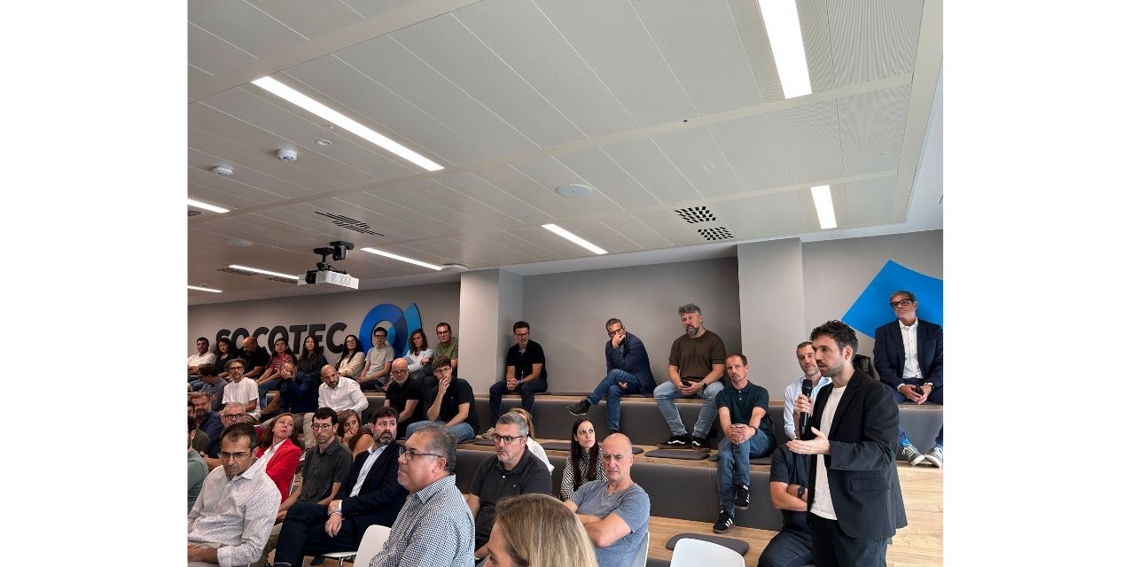
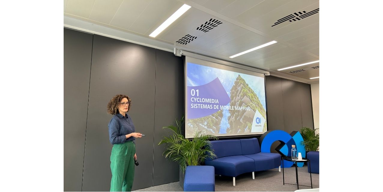
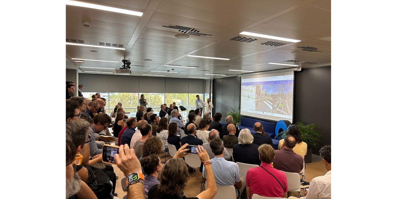
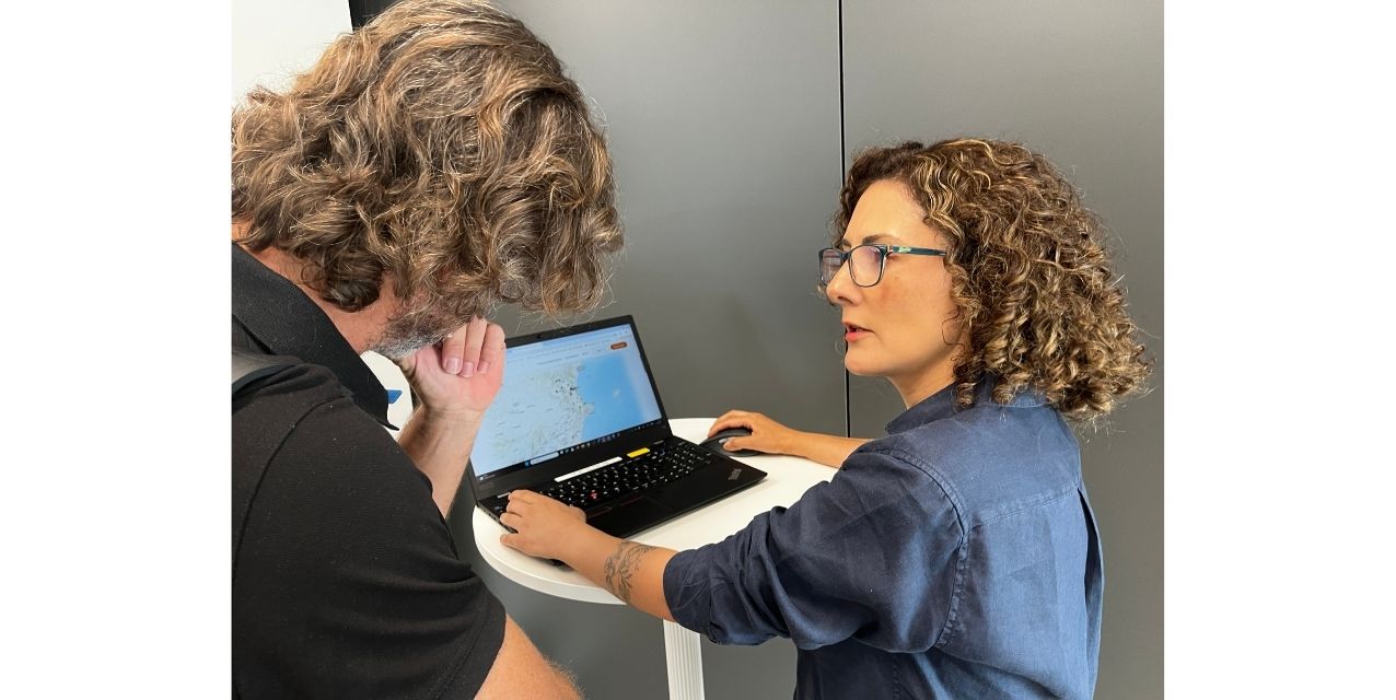
SOCOTEC has hosted a new Expert Talk, this time focused on its value proposition for the digital transformation of cities and infrastructure.
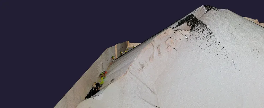
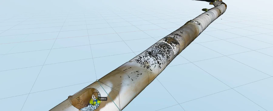
During the event, it was demonstrated how the integration of Mobile Mapping, high-precision LiDAR sensors, and Artificial Intelligence allows massive data capture to be converted into interactive digital twins.
This technology not only optimizes preventive maintenance and simulates climate risks, but also accelerates decision-making in both the public and private sectors by transforming large volumes of information into real-time management tools.

Massive capture and technical precision with Mobile Mapping technology
During the session, the strategic alliance between SOCOTEC and Cyclomedia was presented—a technology partner with more than ten years of joint experience in large-scale European projects. This collaboration allows for the deployment of vehicles equipped with five $360^\circ$ high-resolution panoramic cameras and LiDAR sensors capable of capturing georeferenced point clouds every five meters.
The technology achieves a relative precision of around $2\text{ cm}$ at distances up to $80\text{ m}$, offering an unprecedented level of detail in street mapping.
To ensure comprehensive coverage of the urban environment, the system is complemented by portable backpack scanners equipped with LiDAR sensors and photogrammetric cameras, specifically designed for continuous mapping in pedestrian zones, indoor spaces, or areas with difficult vehicular access.
Automation of urban inventory through Artificial Intelligence
Thanks to the development of Artificial Intelligence algorithms, the raw data collected in the field is automatically transformed into structured and interactive geographic information layers.
The tools process images and point clouds to detect and classify the condition of public roads (identifying potholes, cracks, or pavement degradation) and automatically catalog urban furniture elements, such as traffic signs, streetlights, trees, and sewage networks.
All this information is centralized in SOCOTEC's BlueTrust Monitoring platform, an interactive web viewer that acts as a digital twin.
From this cloud environment, municipal managers and infrastructure engineers can perform three-dimensional measurements, analyze cross-sections, and run water level and flood simulations without needing to install specialized software, accelerating operational planning and incident management.

Success Stories
Major digitalization projects
SOCOTEC consolidates its technical leadership position through the advanced integration of Photogrammetry, BIM, GIS, and large-scale Laser Scanning.
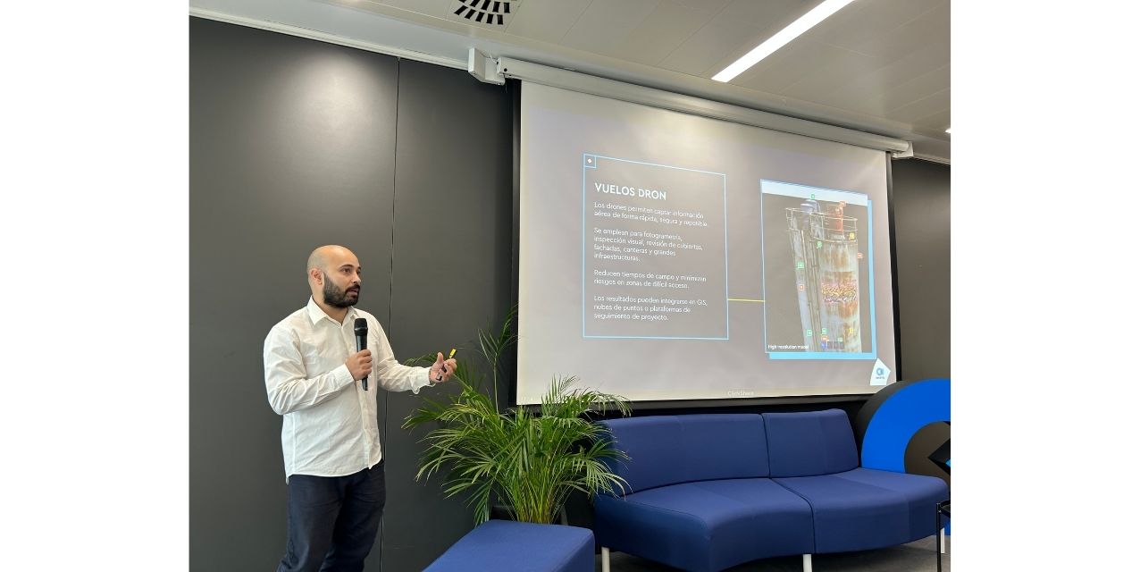
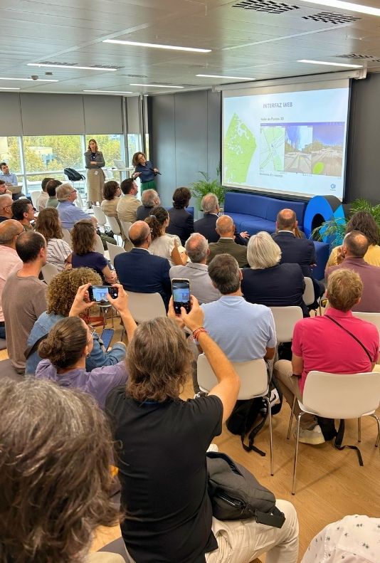
During the conference, Javier Pons, our Head of Business Development in Digitalization, reviewed some of the company's most representative projects, highlighting the comprehensive modeling and digitalization of 444 health centers for the Community of Madrid.
Furthermore, structural digitalization projects using 3D scanning and BIM applied to stadiums and large public facilities were presented, where accurate capture of existing geometry is essential for subsequent structural evaluation, renovation planning, or preventive maintenance.
These methodologies ensure that collected data is not a static record, but a dynamic model useful throughout the entire lifecycle of the infrastructure.
SOCOTEC consolidates its technical leadership position through the advanced integration of Photogrammetry, BIM, GIS, and large-scale Laser Scanning.
During the conference, Javier Pons, our Head of Business Development in Digitalization, reviewed some of the company's most representative projects, highlighting the comprehensive modeling and digitalization of 444 health centers for the Community of Madrid.
Furthermore, structural digitalization projects using 3D scanning and BIM applied to stadiums and large public facilities were presented, where accurate capture of existing geometry is essential for subsequent structural evaluation, renovation planning, or preventive maintenance.
These methodologies ensure that collected data is not a static record, but a dynamic model useful throughout the entire lifecycle of the infrastructure.
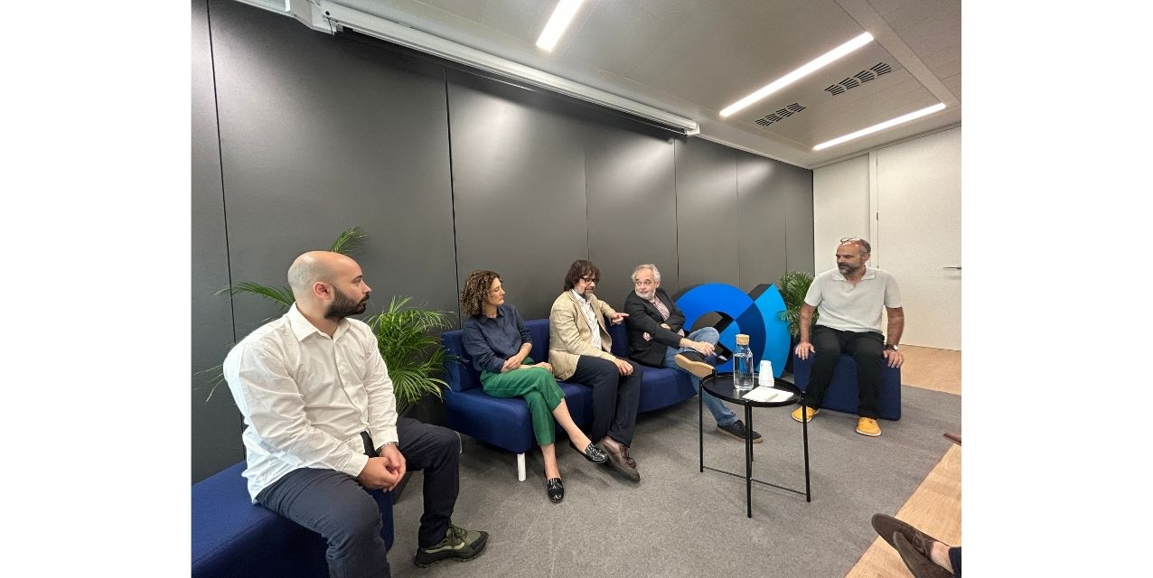
Debate sobre la soberanía del dato, estandarización y el desafío del subsuelo
Ricard Font
Manager of Mobility, Infrastructure, and Public Works at Barcelona City Council and CEO of BIMSA
He highlighted the need to evolve toward predictive maintenance through asset sensorization, while emphasizing the critical importance of ensuring cybersecurity and public sovereignty over urban data.
Ferran Camps
Deputy Director General for Decarbonization and Smart Roads at the Department of Territory, Housing and Ecological Transition of the Generalitat de Catalunya
He stressed that capture technology is completely mature, pointing out that the real challenge lies in defining neutral classification standards and interoperable formats so that information is shared seamlessly across different public administrations.
Paula Cardona
Mobile Mapping Expert at SOCOTEC
She explained how converting dense point clouds into lightweight, operational GIS layers drastically reduces costs, field inspection times, and human error.
Javier Pons
Digitalization Expert at SOCOTEC
He insisted that the differential value lies in the correct semantic classification and structuring of assets to ensure that the models remain operable over time.
SOCOTEC's differential expertise facing territorial challenges
Faced with the growing challenges of managing cities and infrastructure—from data interoperability to subsurface complexity and climate resilience—SOCOTEC positions itself as the strategic partner of choice.
This is made possible by its unique ability to combine traditional engineering with the most advanced digitalization technologies.
SOCOTEC's true added value lies in not merely acting as a data capture provider, but as a comprehensive consultant that understands the physical and structural behavior of the territory.
Thanks to a multidisciplinary team of engineers, geotechnicians, BIM/GIS experts, and data specialists, the company is able to:
Guarantee the technical rigor and precision required for both highly complex engineering projects and day-to-day urban management.
Transform large volumes of massive data into structured, standardized models, facilitating integration with public administration existing systems and ensuring information sovereignty and security.
Provide a global vision of the asset, connecting the surface captured via Mobile Mapping with pathological analysis, structural monitoring, and subsurface investigation.
With this end-to-end proposition, SOCOTEC demonstrates its leadership by transforming technological and regulatory challenges into effective operational solutions, helping public authorities and companies build smarter, safer, and more sustainable cities.