Solutions for data mapping and analysis
We use this technology to support strategic decision-making in geotechnical and infrastructure projects.
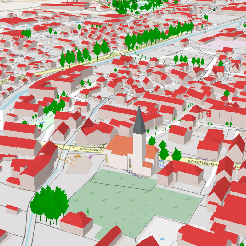
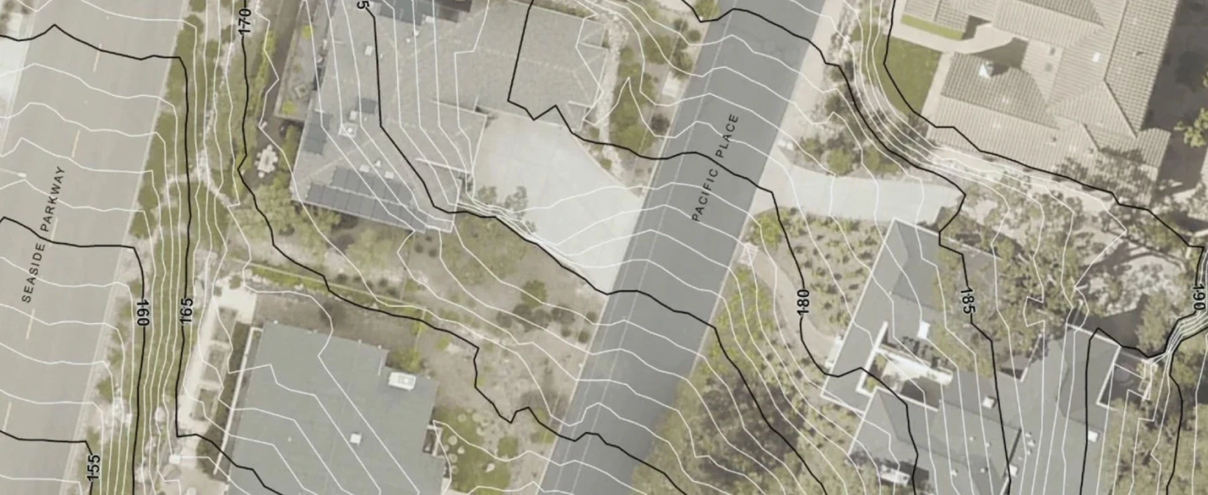
At SOCOTEC we use geographic information systems (GIS) to perform advanced spatial data analysis, mapping and visualization to support geotechnical, environmental and infrastructure projects. Our GIS solutions improve decision-making by integrating complex data sets into interactive, easy-to-use formats for planning, analysis, and asset management.
Technology and precision
SOCOTEC's GIS professionals use ArcGIS Pro and QGIS, two advanced geospatial tools to ensure accuracy and compliance with regulatory standards. We specialize in integrating GIS with geotechnical, environmental, and construction datasets to provide actionable insights.

Talk to our experts
Our comprehensive GIS services
Our GIS team leverages industry-leading technology to deliver accurate, high-resolution geospatial data and mapping solutions, including:


TRUST & TECH
SOCOTEC's Technology Brand

At SOCOTEC, we combine technical expertise with advanced technologies to help our customers make safer, more sustainable decisions in complex environments.
TRUST&TECH represents the synergy between expert knowledge and strategic use of data, sensors and artificial intelligence applied to construction, infrastructure and industry, in a context of environmental, energy and digital transformation.
To support all players in the construction, real estate, infrastructure and industrial sectors throughout the lifecycle of your projects, SOCOTEC uses technologies aimed at building trust through the data collected.
Our goal: to ensure the sustainability of your assets, control costs, limit the impact on the environment and guarantee the performance of your business.
Do you want to apply these Digitization methods to your projects?


